Boundaries and easements: reconcile records with the site
Read the legal description, title exceptions and available survey together before assuming a fence, map or driveway defines property rights.

What matters before you decide
A tax map, online boundary layer or existing fence is not a definitive legal boundary determination. Compare the deed description, recorded easements, title documents and an appropriate survey. Ask a locally licensed surveyor and qualified legal professional to resolve discrepancies before relying on the property’s dimensions or access.
- Collect deed, plat and title documents.
- Check survey date and later changes.
- Verify legal access and easements.
- Use the state’s license register.
Gather the underlying records
Obtain the deed’s legal description, recorded subdivision plat where relevant, title commitment and available surveys. Compare document dates and look for changes since the survey, such as an addition, fence or driveway. Confirm whether the lender or title provider requires a new survey or other evidence. A county assessor parcel number is useful for research but does not by itself establish the complete legal interest being transferred.
Review access and intended use
A driveway used for years may cross another parcel; a visible path is not proof of a recorded right. Ask which document establishes legal access and who maintains shared roads. Review utility, drainage and other easements against plans for fences, garages or landscaping. Recorded rights can affect buildable space even when the site appears open. Keep an unfamiliar restriction on the unresolved-items list until a professional explains it.
Use qualified local verification
Check the surveyor’s license with the relevant state regulator and agree the survey scope before ordering. The Texas board resources linked here are an example for Texas, not a national license register. Where documents conflict or rights are disputed, legal advice may be needed as well as measurement. Preserve the signed survey and recorded documents, and avoid relocating a disputed fence based solely on an online map.
Decision checklist
- Collect deed, plat and title documents.
- Check survey date and later changes.
- Verify legal access and easements.
- Use the state’s license register.
Frequently asked questions
01Does a fence prove the boundary?
No. A fence can be misplaced or reflect an informal arrangement. Resolve the boundary using the relevant records and qualified evaluation.
02Does title insurance cover every boundary problem?
Coverage depends on the policy and exceptions. Review survey-related provisions and specific endorsements with the title professional.
Primary sources and further reading
Always verify the date, scope and local application before using a source for a specific decision.
Independent educational information. Not legal, tax, lending, or investment advice. Verify local rules and consult licensed professionals before making a real estate decision.

Owner versus lender title insurance: read the exceptions
Distinguish lender and owner title protection, review the commitment and exceptions, and resolve defects before closing.
Read the file
What a title company actually does
Understand title search, title insurance, settlement, escrow, recording and wire verification—and how roles differ by state and transaction.
Read the file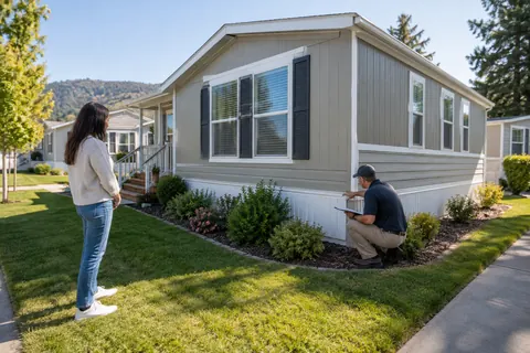
Manufactured homes: verify the land, title, installation and financing
A manufactured home purchase can involve separate rights to the home and land. Check both, along with HUD labels, site costs and financing.
Read the file